
The best time to visit Arikok National Park for your plans
The best time to visit Arikok National Park for relatively dry sightseeing is generally the dry season, roughly February to June. That is a planning judgement based on Aruba's climate, rather than a promise about a particular day. A walking visit, a cave outing and a hoped-for swim at Conchi each need a different final decision.
Keep three questions separate: how much rain is typical for your chosen month, how you will manage the heat, and what the sea is doing when you arrive. A dry morning can still bring rough coastal water. Start with the climate pattern, then use current forecasts, park information and local warnings to decide what is sensible on the day.
Dry season and rainy season
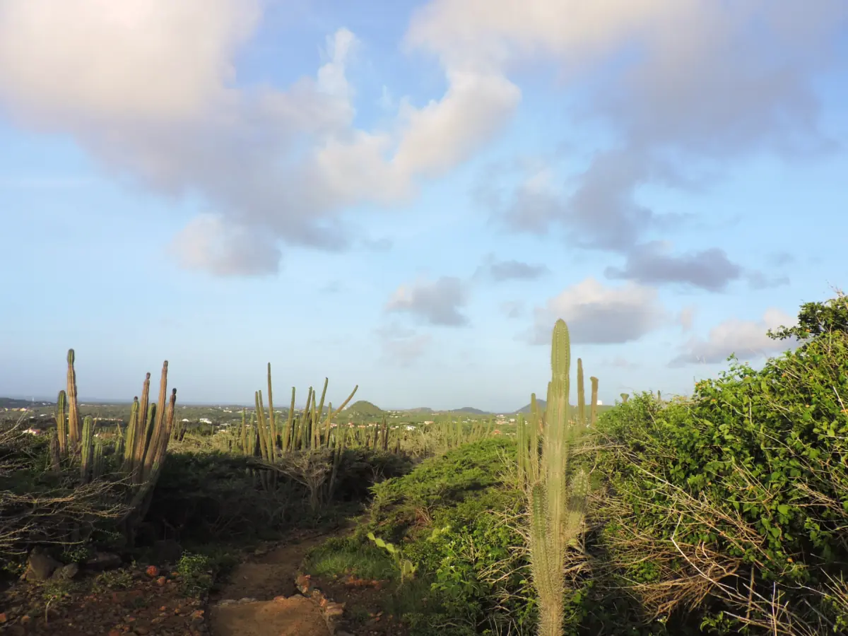
Aruba has a semiarid tropical steppe climate. Its weather service describes a dry season approximately from February to June and a rainy season from September to January. In the historical normals, April has the lowest monthly rainfall and November the highest. Those patterns help with choosing dates, but do not establish whether a particular path will be usable or a pool safe for swimming.
Choose the activity as carefully as the month. For a day focused on inland scenery, compare the walking options and the caves. For Conchi, read the Natural Pool access and safety guide. Seasonal labels are not park opening rules, and booking a guided visit does not remove weather decisions.
Our pick: a guided park visit
Our take: This guided park visit includes entry and water for your visit planning.
Hand-picked tours, booked through GetYourGuide. Prices are indicative starting prices in US dollars (as of November 2026). Tap a tour for live availability and the current price in your currency.
Guided park visit for your chosen date
This park outing includes admission and bottled water. Build it into your date planning while keeping the day's weather and any swimming decision separate from those included services.
Monthly Aruba climate normals, 1991 to 2020
These are historical Aruba climate normals for 1991 to 2020, from the weather service's published table. The columns show mean daily maximum and minimum temperatures and monthly rainfall. They are an island climate reference, rather than measurements from an Arikok station or a forecast for your visit. Decimal commas follow the source table.
| Month | Mean maximum °C | Mean minimum °C | Rainfall mm |
|---|---|---|---|
| January | 30,3 | 24,8 | 44,0 |
| February | 30,6 | 24,8 | 19,5 |
| March | 31,1 | 25,3 | 10,0 |
| April | 31,9 | 26,0 | 8,6 |
| May | 32,0 | 26,7 | 14,1 |
| June | 32,5 | 26,9 | 17,4 |
| July | 32,4 | 26,7 | 31,4 |
| August | 33,2 | 27,2 | 19,6 |
| September | 33,2 | 27,3 | 42,9 |
| October | 32,4 | 26,7 | 76,5 |
| November | 31,5 | 26,0 | 87,1 |
| December | 30,7 | 25,3 | 80,1 |
Use the temperature columns to prepare for sustained warmth, including in the drier months. Monthly averages smooth out individual days. They should not be used as a maximum temperature limit for a long walk, or as a reason to leave water and sun protection behind.
Morning heat and walking plans
Plan walking for the earlier part of the available visiting period, while respecting entrance hours and your agreed tour start. A suggested ranger departure does not grant independent entry before the gates open. Carry water, a hat, sunglasses and sun protection even when the trade wind feels cooling. Arrange supplies before setting out rather than relying on shade or a refill stop along the trail.
The opening-hours guide helps you align arrival with access. For the guided park visit shown here, admission and a bottle of water are included. Bring your own sun protection and small cash for any separately charged restroom use. The included water does not replace planning what you personally need for the outing.
Surf is independent of rainfall
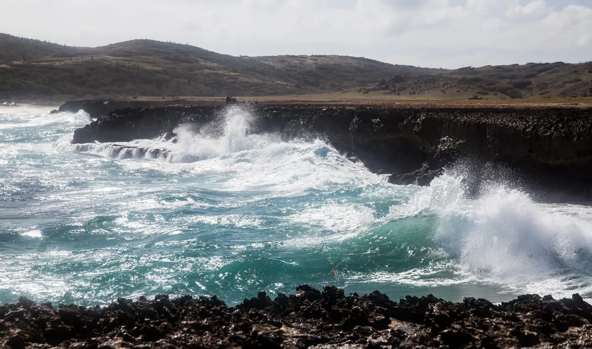
At Conchi, swim or snorkel only in calm seas and follow ranger warnings. Waves can wash over the rock barrier. At Boca Prins, stay out of the water because of strong undercurrents. Dos Playa also has rough seas and strong pull; experience in the water does not make it a safe swimming choice. Plan those coastal landscapes as places to see rather than expected swimming stops.
Hurricanes and last-minute status checks
Aruba lies at the southern edge of the hurricane belt. Systems passing farther north can still cause coastal erosion or flooding. Before departure, consult current weather and marine information, then follow the park's notices and instructions at the destination. An old forecast is unsuitable for deciding today's sea conditions. Keep enough flexibility to change the coastal part of your plan when conditions require it.
Weather questions for a park visit
Which month has the lowest typical rainfall?
April has the lowest monthly rainfall in the historical Aruba normals for 1991 to 2020. That is a climate comparison, rather than a prediction for a particular April day.
Does the dry season make Conchi safe for swimming?
Swimming depends on calm sea conditions and local warnings. Assess the sea separately from the rainfall pattern, including during the dry season.
Is Aruba free from hurricane effects?
Aruba lies on the southern edge of the hurricane belt. More northerly systems can still affect the coast, so consult current weather information close to your visit.