
Arikok National Park hiking and Jamanota Hill
Arikok National Park hiking needs a route plan as well as a park pass. The terrain includes dry hills, cactus scrub, cultural remains and coastal destinations. The route figures here are the park administration’s descriptions of ranger walks, checked on 11 November 2026. Treat them as a way to compare those programmes, rather than measurements of every possible independent walk through the park.
Jamanota is Aruba’s highest point. The administration lists Jamanota Hill as a difficult 4.8 km ranger route taking 2 hours, with a suggested start at 08:00. Its destination is the sub-top. Plan for that described route rather than unrestricted access to the summit. Begin the wider preparation with the park pass and entrance hours, then fit the chosen programme around the actual access arrangements.
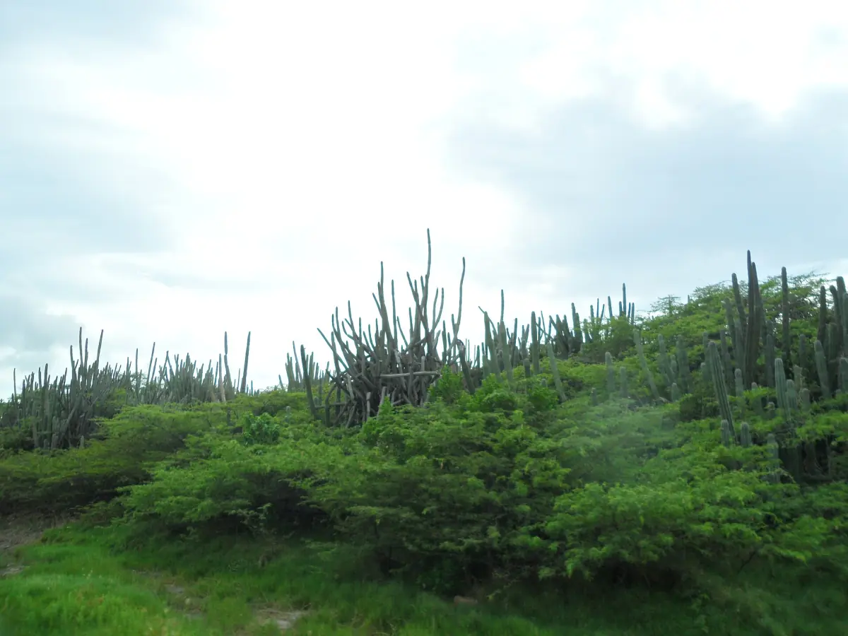
Miralamar and Cunucu Arikok: cultural walking routes
Miralamar is listed as an easy ranger walk of 2 km and 1.5 hours, with an 08:00 suggested start. Gold mining ruins are its cultural focus. View them as historic remains along a managed route; their presence is not an invitation to enter mine shafts. This option suits an interest in the traces of past activity within the protected landscape.
Cunucu Arikok is another easy ranger programme, listed at 5 km and 1.5 hours, also with an 08:00 suggested start. Pictograms and an adobe house are among its features. The route description concerns the walk and its cultural setting, rather than access inside every building. For further context on indigenous heritage, pair the planning with the Fontein and Quadirikiri guide.
Our pick: the Conchi walk
Our take: This local guided walk is an option for reaching Conchi on foot; the nature fee is separate.
Hand-picked tours, booked through GetYourGuide. Prices are indicative starting prices in US dollars (as of November 2026). Tap a tour for live availability and the current price in your currency.
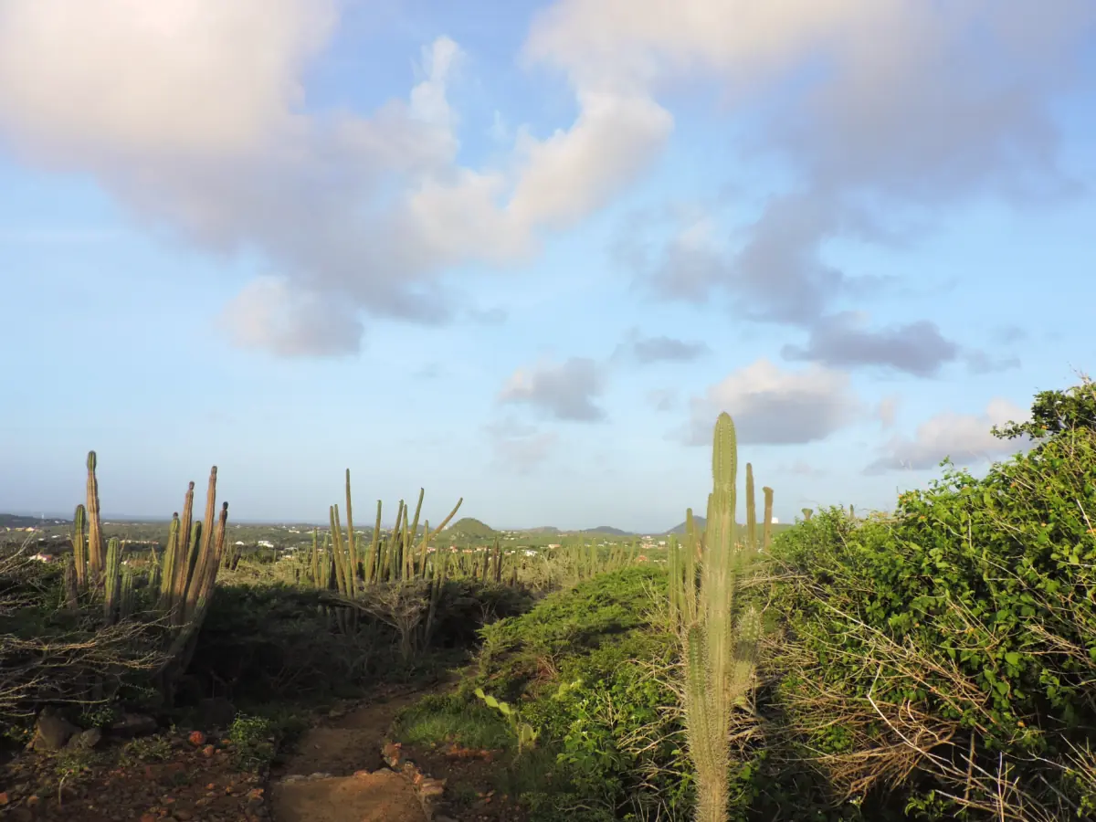
Our take: guided Conchi walk from Santa Cruz
The Conchi hike starts at Angochi Supermarket and includes a local guide, lemonade, a biscuit and a snorkelling mask. Bring water, arrange your own transport and budget for the separate cash nature fee.
Rooi Tambu and Dos Playa
The Rooi Tambu & Dos Playa ranger route is listed as difficult, with 7.5 km and 3.5 hours. Its suggested start is 07:00. That early programme time is not permission for individual visitors to enter before the gates open. Arrange a ranger programme directly and follow its access instructions, or organise an independent day within the applicable entrance arrangements.
The destination adds coastal scenery, not a safe swimming reward. Dos Playa has two bays cut into limestone, rough seas and strong undertow. Experienced swimmers should not treat the description as reassurance. Carry the supplies needed for the walk and leave the sea out of the plan. Our Dos Playa and Boca Prins guide explains the separate coastal hazards.
Conchi on foot: a different guided outing
The featured Conchi hike starts at Angochi Supermarket in Santa Cruz. It includes a local guide, local lemonade, a biscuit and a snorkelling mask. Bring your own water and organise transport to and from the meeting point. The nature fee is paid separately in cash. This product concerns a Conchi walk; it does not provide guided access to all the ranger routes described here.
The listed product duration is 3.5 hours, which describes that excursion and should not become a general walking time to Conchi. Independent route planning needs its own starting point and current directions. At the pool, uneven ground and steep steps create mobility barriers, and it is not wheelchair accessible. Swimming or snorkelling is only an option in calm seas while following local warnings. Waves can wash over the surrounding rock.
Heat, water and protection of wildlife
Carry drinking water, sun protection, sunglasses and a hat. The breeze can make sun exposure feel less obvious, so use it as no substitute for preparation. Plan a route that leaves enough energy for the return and do not depend on finding shade or a water refill along the way. Read the weather and timing guide before deciding how much walking to put into the day.
The park’s rule sheet filed in April 2024 and still linked in November 2026 prohibits disturbing wildlife, collecting natural objects and building stone piles. Leave plants, rocks and cultural remains where they are. The administration’s undated guidance also prohibits feeding wildlife. Cacti, birds, reptiles and bats belong to the park landscape, but a walk should not be organised around a promised sighting or close encounter.
Ranger walk or an individual visit
Choose a ranger programme for the specific route and interpretation it offers, and arrange its start with the park. For an independent visit, get a visitor map and current route information at San Fuego. Neither approach removes the need to consider heat, supplies and the return journey. The arrival guide helps distinguish the park entrance from a tour meeting point, while the Conchi page compares ways of reaching the pool.
Questions about your visit
Does the advertised hike cover Jamanota?
It is a Conchi hike from Angochi Supermarket. Jamanota, Miralamar, Cunucu Arikok and Rooi Tambu are separate ranger route descriptions.
Can I enter alone at 07:00?
The 07:00 suggestion belongs to the Rooi Tambu ranger programme. Arrange that programme’s access with the park rather than using it as an individual gate time.
Is swimming included as a certainty?
A snorkelling mask is included in the Conchi hike, but entering the water depends on calm seas and local warnings. The rocky coast remains part of the safety decision.